Satellite Map That Shows Property Lines Free
Finding a satellite map that shows property lines free can be a bit difficult to find on Google. Property line details are usually considered private information and not publicly available in most countries. But, can you find a free property line map? Let’s figure it out together.
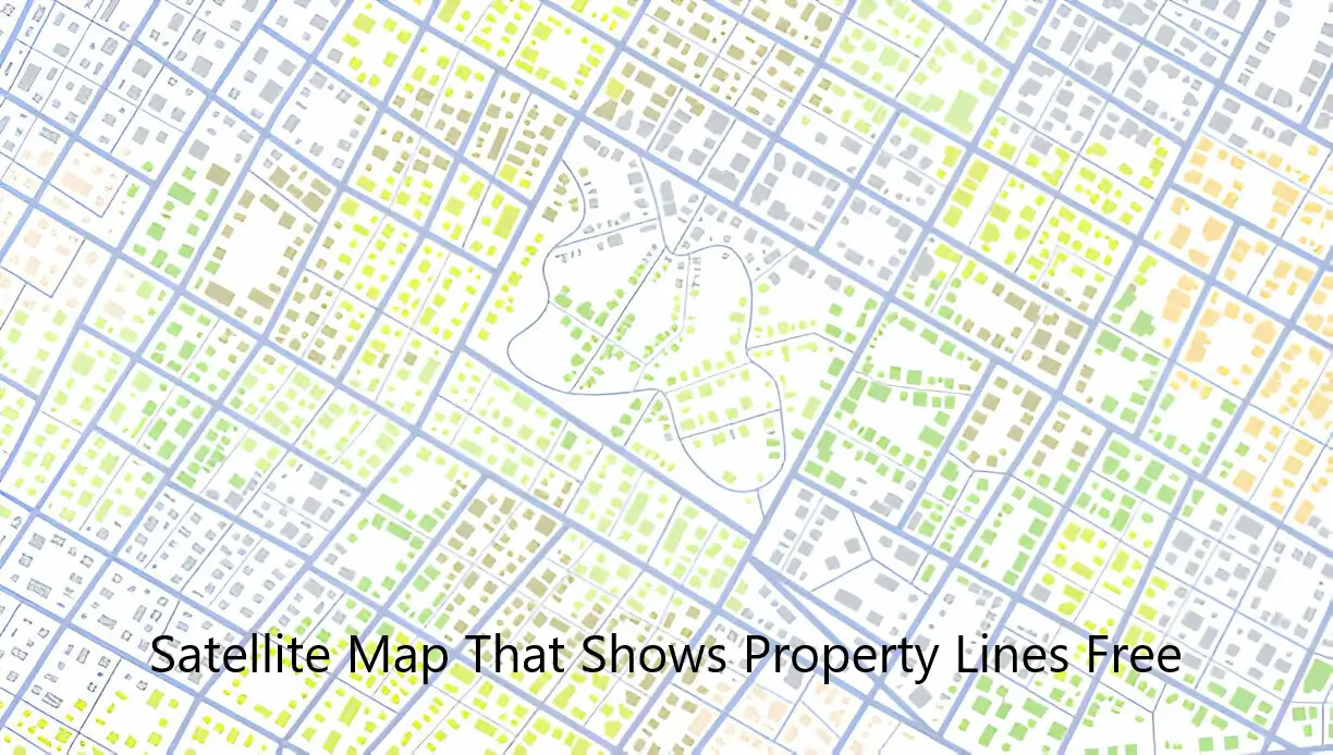
How to see property lines online
We have already discussed that property lines are considered private information. So, how we can access a free property line map without breaching any laws? There are a few approaches you can try:
1. Government Websites: In some countries, like the United States, Canada, Australia, and many European nations, government agencies responsible for land management or cadastral services may provide access to basic property information and maps. These might not be satellite images but could still be useful for understanding approximate boundaries.
2. Online Mapping Services: Services like Google Maps or Bing Maps offer satellite views, but they typically do not show property lines. They may show outlines of buildings or terrain, but not legal boundaries.
3. Local County or Municipality Websites: Sometimes local government websites or county assessor websites provide property maps that include boundaries. These may not be satellite images but could still be detailed maps.
5. GIS (Geographic Information System) Websites: Some cities or counties have GIS portals where you can access detailed maps, including property boundaries. These portals may require registration or may charge a fee for detailed access.
5. OpenStreetMap: While OpenStreetMap doesn’t typically show property lines, it is a collaborative mapping project that sometimes includes user-contributed data. However, the accuracy and availability of property boundary information can vary widely.
6. Real Estate Websites: Websites specializing in real estate listings sometimes provide maps that outline property boundaries for properties listed for sale. This information may be limited to properties currently on the market.
How to Find a Satellite Map That Shows Property Lines Free
Here are some websites and resources where you might find property maps or related information:
- Google Maps:
- Website: Google Maps
- Note: Google Maps provides satellite imagery and mapping services, but does not typically show property lines.
- Zillow:
- Website: Zillow
- Note: Zillow is a real estate website that sometimes provides property boundaries for properties listed for sale.
- County Assessor Websites:
- County assessor websites vary by county, so you’ll need to search for your specific county’s assessor or property appraiser website.
- For example, “Los Angeles County Assessor’s Office” or “King County Property Records Search” for Los Angeles and Seattle areas respectively.
- GIS Portals:
- Again, these vary by locality. You might search for “[Your County/City] GIS” or “[Your State] GIS” to find your local geographic information system portal.
- For example, “Wake County GIS” for the Wake County, NC GIS portal.
- OpenStreetMap:
- Website: OpenStreetMap
- Note: OpenStreetMap is a collaborative mapping project that may include user-contributed data, but it typically does not show detailed property lines.
- National Map Websites:
- Some countries have national mapping agencies that provide detailed maps and geographic data. Examples include the United States Geological Survey (USGS) for the US.
Conclusion:
Finding a free satellite map that shows property lines can be hard due to privacy concerns in many countries. While popular mapping services like Google Maps offer satellite views, they typically do not include property lines. However, government websites, local county resources, GIS portals, and real estate platforms may provide useful maps and approximate boundaries. For exact property line details, consulting official records or hiring a surveyor is recommended. As technology advances, accessing accurate property boundary information online may become more accessible.